Knauss legislative fellowships in Congress help build careers — and they're fun and educational. See our video and fact sheet for details.
Coastal Geospatial Horizons Workshop
What’s next for drone research and management?
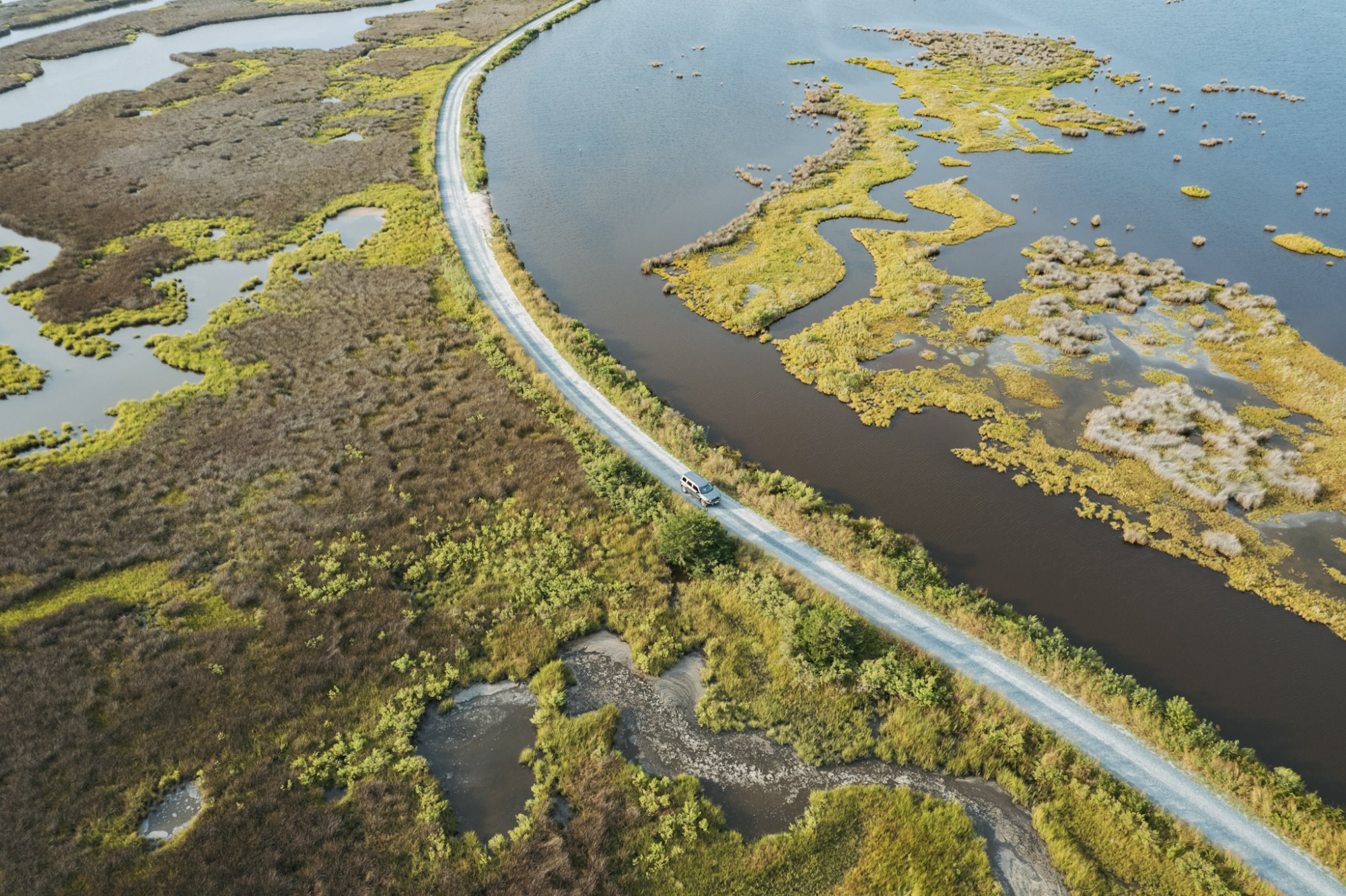
We invite drone newcomers, seasoned pros, and those curious about drone and related geospatial products and capabilities to attend this one-day workshop! We will exchange information on latest projects, collaboration potential, and other opportunities to utilize drones resources.
Date: Tuesday, August 6, 2024
Venue: UMD UAS Research and Operations Center, 44181 Airport Road, California, MD 20619
Cost: There is no charge for this workshop. Travel assistance is available upon request.
Agenda
10 a.m. | Welcome
10:30 a.m. | University of Maryland UAS Research and Operations Center introduction
John Slaughter, Director UAS Research and Operations Center
11:30 a.m. | Networking lunch
12:30 p.m. | Drone imagery into the future: discuss best practices for data management.
After spending time and resources getting certified, going into the field, post-processing data and more, what is done with the drone imagery and data after you're done with it? When assessments and/or research is complete, where does that data go and how will others be able to access it? We will discuss ideas for how to manage drone imagery to extend the resource and benefits of the work you invested in.
Supriya Khadke, Mid-Atlantic Regional Geospatial Coordinator for NOAA’s Office for Coastal Management
1:30 p.m. | Peer learning sessions
Applications for drones in marshes and other coastal sciences and management
Logistics for drone operations
2:30 p.m. | Lightning networking session: Participants match up to reflect on what was most valuable about the workshop and how they might move forward.
3 p.m. | Wrap up and adjourn
Speaker Biographies
Supriya Khadke is the Mid-Atlantic regional geospatial coordinator for NOAA’s Office for Coastal Management (Lynker). She offers geospatial guidance and acts as a regional connector to organizations and partners in the Mid-Atlantic. Prior to initiating the role in 2022, Khadke was the GIS and land data manager at Scenic Hudson, a land trust in the Hudson Valley. She also worked at Esri for six years, helping customers and working in product development to improve geodatabase functionality across the platform.
Lodging Options in California, Maryland
Country Inn & Suites by Radisson, Lexington Park
44941 Worth Lane, California, MD 20619
(240)-384-2226
Holiday Inn Express & Suites Lexington Park - California
45260 Abell House Ln, California, MD 20619
(240)-237-1444
La Quinta Inn & Suites by Wyndham Lexington Park
22769 Three Notch Rd, California, MD 20619
(301)-678-9847
For questions about this workshop, please contact Maryland Sea Grant's coastal resilience coordinator Taryn Sudol at sudol@mdsg.umd.edu or 301-405-6378.
The Chesapeake Bay Sentinel Site Collaborative is a group of scientists, coastal managers, decision makers, and community liaisons across Maryland and Virginia focused on applying sea level rise science to stakeholder decision making.
For more information, please contact:
Julissa Murrieta
Environmental Science Outreach Intern
Phone: (301) 405-7500
Email: jmurriet@mdsg.umd.edu
Environmental Science Outreach Intern
Phone: (301) 405-7500
Email: jmurriet@mdsg.umd.edu

Taryn Sudol
Coordinator for the Chesapeake Bay Sentinel Site Cooperative
Phone: (301) 405-6378
Email: sudol@mdsg.umd.edu
Coordinator for the Chesapeake Bay Sentinel Site Cooperative
Phone: (301) 405-6378
Email: sudol@mdsg.umd.edu
Program Announcements
News and Blogs


Featured Fellow
Leone Yisrael is a cephalopod-loving scuba diver, cook, and loves to try new activities. She conducts genetic analysis and fieldwork at the Smithsonian Environmental Research Center through the Coastal Disease Ecology Lab.
Featured Research Project
Developing a habitat model for mysids, an important link in Chesapeake Bay food webs
Mysids are important mesozooplankton prey for many species of fish in Chesapeake Bay and are an important link in transferring energy from lower to upper trophic levels. Mysids also serve as biological vectors for benthic-pelagic coupling due to their diel vertical migration and omnivorous prey-switching behavior, which makes mysids important regulators of food web architecture. Despite their central role in coastal food webs, surprisingly little is known about mysid ecology and dynamics in Chesapeake Bay.